Oregon and Washington Could Face Warmer, Drier Winter as El Niño Nears Historic Strength
Oregon and Washington could be heading into a warmer, drier winter as a strengthening El Niño in the Pacific Ocean has a chance of becoming…
Choose a city
Loading the latest weather for Ashland…
Loading the latest weather for Eugene…
Loading the latest weather for Grants Pass…
Loading the latest weather for Medford…
Loading the latest weather for Portland…
Loading the latest weather for Salem…
Oregon and Washington could be heading into a warmer, drier winter as a strengthening El Niño in the Pacific Ocean has a chance of becoming…
Red flag conditions identified by the National Weather Service prevail across north-central and northeast Oregon, as wildfires continue to…

Fears have arisen that existing and new wildfires could spread after the National Weather Service (NWS) issued a fire watch for central and…
Oregon fire officials are seeking the public’s cooperation as critical fire weather conditions, including Red Flag Watches and Warnings…
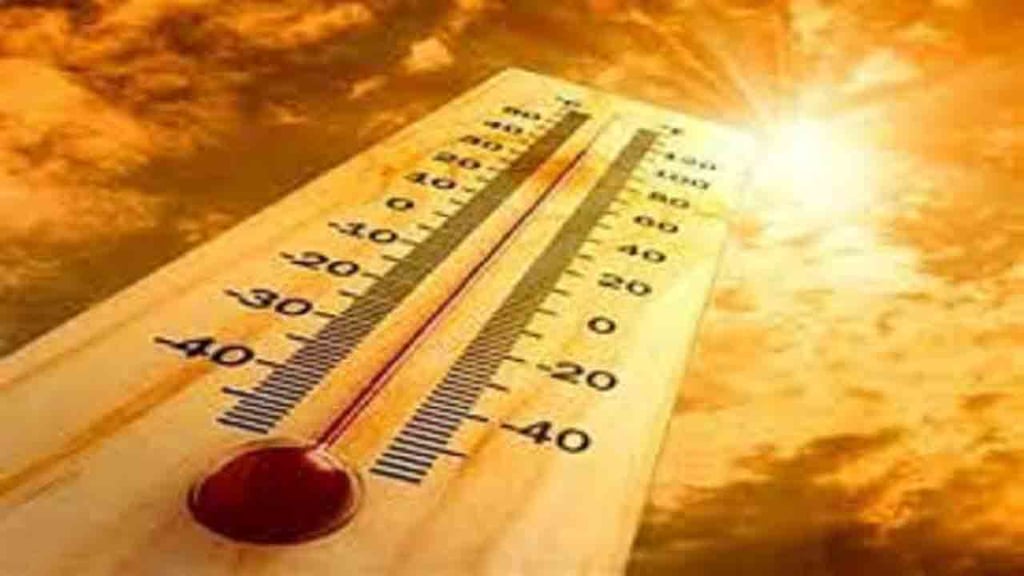
With temperatures potentially reaching 105 degrees in the Columbia Basin, several heat and other weather advisories have been issued for…
Oregon will experience above-normal temperatures between July 14 and 22, according to the National Oceanic Atmospheric Association (NOAA).